

A view of the Roncobello valley.

A view of the circular route.
Distance: 11.6 km
Elevation Gain: 911 m
Route Type: Circular
Start/Finish: Orobie Alpes Resort, Roncobello
Highest Point: Approx. 1,750 m
Difficulty: Moderate to challenging (due to exposed sections and steep inclines)
Overview
This circular hike around the stunning Valley of Roncobello offers a rewarding mix of woodland climbs, panoramic traverses, and high mountain meadows. At just under 12 km and with nearly 1,000 m of elevation gain, it's a decent day out for any seasoned walker looking for beautiful views and a bit of a challenge.

The church in Rocobello looking up at the hiking route.
Expect steep ascents, exposed paths with some landslide-prone sections, and magnificent views across the Bergamo Alps.
Starting Point

Orobie Alpes Resort - A fantastic place to stay and awesome hosts!
The route begins in Roncobello itself, right outside the Orobie Alpes Resort—a wonderful, family-run hotel that comes highly recommended. The hospitality from Paolo, our host, was excellent, and the homemade cakes and breakfast were among the best we've had anywhere.
From the hotel, head uphill along the road towards Camping Oasi Alpina Roncobello. Just past the car park, you’ll see a small bridge crossing a stream—this is the official start of the trail.

A nice installation at the camp site at the start of the hike where you cross the stream.
Initial Ascent through Pine Forest
The hike begins with a steep series of switchbacks through dense pine forest. This is one of the most physically demanding parts of the walk, with sharp elevation gain early on. Take your time, pace yourself, and you’ll soon find your rhythm.

A view through a clearing in the forest as you ascend up the valley.
The trail is marked with paint on the trees and is relatively well-trodden, although it sees far fewer hikers than the nearby Laghi Gemelli trail.
Baita Vindiolo Bassa
The first waypoint is the Baita Vindiolo Bassa, a rustic mountain hut with a water fountain—perfect for a refill. The views here open up to reveal the distant peaks surrounding Roncobello and are well worth a rest and a photo or two.

The view from Baita Vindiolo Bassa.

Looking up the valley towards Laghi Gemelli.
Traversing the Valley Walls
From the hut, the path drops back down towards the valley floor and the campsite. If you need to shorten your route, this is a good point to loop back into town.

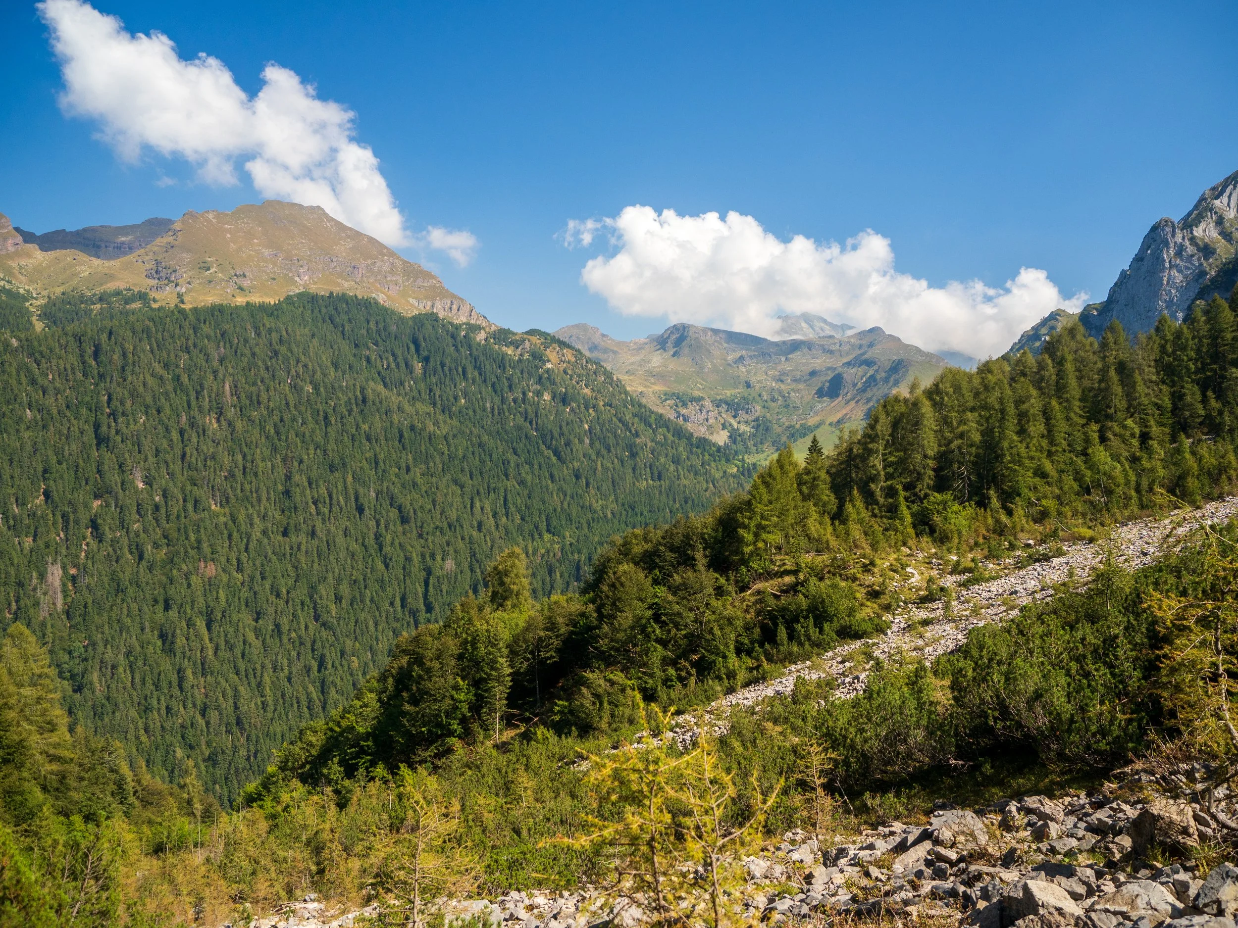
Some of the steeper sections of the valley traverse.
However, to complete the full circuit, take the left fork in the path towards Rifugio Branchino. This next section contours along the valley wall, just beneath the imposing Monte Vindiolo (2,054 m).
The trail is generally straightforward but includes exposed sections with steep drop-offs, and parts of the path have been washed away by landslides. A sure footing and hiking poles are strongly recommended here, as is a good head for heights.

One of the sections of the trail that had been affected by landslides.
The challenge is well worth it—on a clear day, the views of the valley and surrounding peaks are breathtaking.
The sun soaked peaks of Roncobello.
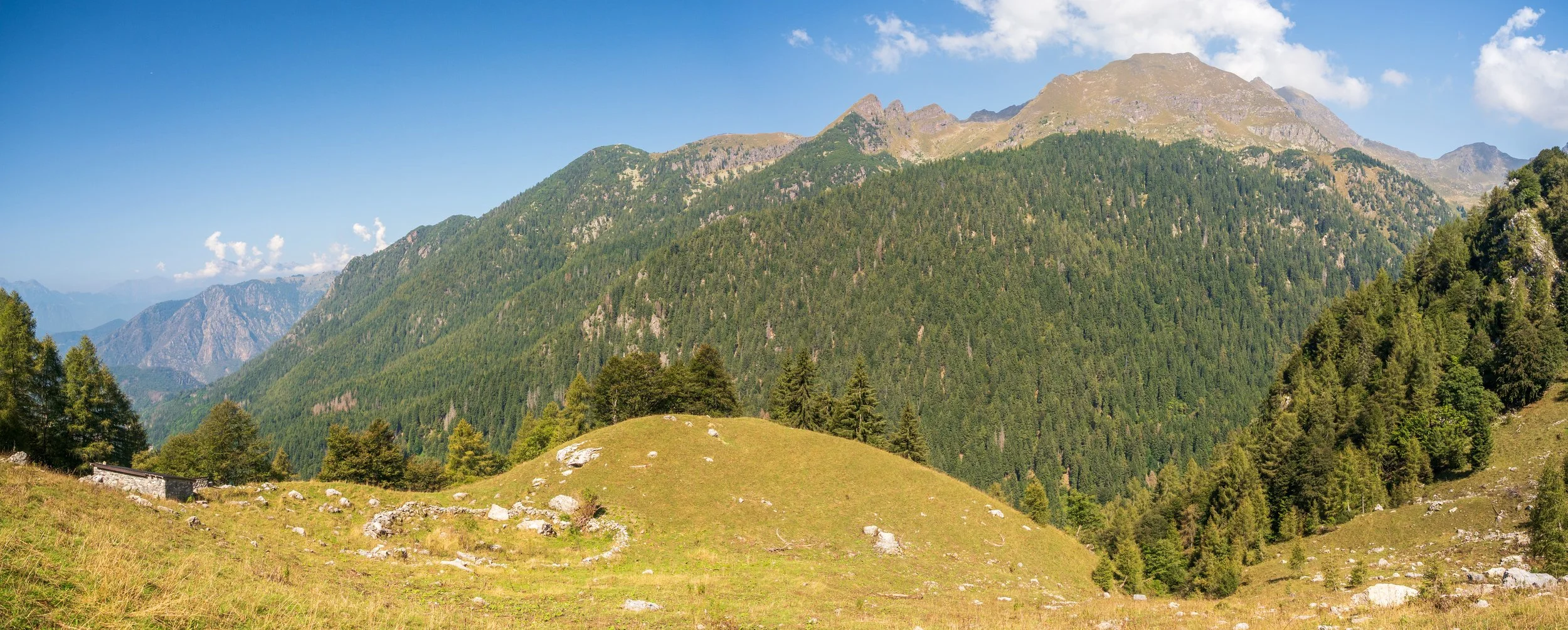
High Meadows and Livestock
The terrain eventually mellows out into grassy alpine meadows, where you may encounter grazing livestock. At the trail’s highest point (approx. 1,750 m), take a moment to enjoy the alpine landscape in all its glory.
One of the meadow areas of the valley walls with some great sweeping views of the surrounding mountains.
Descent via Corno Branchino
You’ll soon reach another fork—ignore the path towards Rifugio Branchino and instead take the right-hand trail down the valley, skirting beneath Corno Branchino (2,029 m).

Some of the imposing peaks that surround the hiking route.
Here, the route descends steadily past majestic waterfalls and continues down towards the main road into Roncobello. The elevation loss is more gradual here, allowing for a gentle finish to your hike.

At the end of the route where the hiking path joins back up with the main road back into town.
Return and Refreshments
As you approach the town again, follow the short-cuts back down towards the campsite. A dip in the cool mountain stream is a refreshing reward for your efforts, and you can round off your hike with a well-deserved iced coffee back at the Orobie Alpes Resort.

Looking back at some of the route you would have hiked!
Final Thoughts
This is a beautiful and rewarding hike for those who enjoy a bit of elevation and don't mind a few sketchy sections. The scenery is diverse, the paths largely quiet, and the views utterly spectacular.
Tip: If you enjoyed this route, be sure to check out my other hiking guides and videos—linked below!